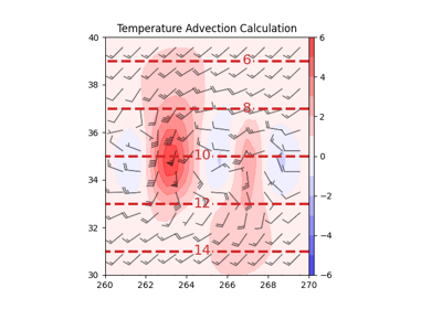
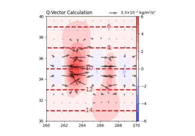
advection#
- metpy.calc.advection(scalar, u=None, v=None, w=None, *, dx=None, dy=None, dz=None, x_dim=-1, y_dim=-2, vertical_dim=-3, parallel_scale=None, meridional_scale=None, latitude=None, longitude=None, crs=None)[source]#
Calculate the advection of a scalar field by 1D, 2D, or 3D winds.
If
scalaris axarray.DataArray, onlyu,v, and/orware required to compute advection. The horizontal and vertical spacing (dx,dy, anddz) and axis numbers (x_dim,y_dim, andz_dim) are automatically inferred fromscalar. But ifscalaris apint.Quantity, the horizontal and vertical spacingdx,dy, anddzneeds to be provided, and each array should have one item less than the size ofscalaralong the applicable axis. Additionally,x_dim,y_dim, andz_dimare required ifscalardoes not have the default […, Z, Y, X] ordering.dx,dy,dz,x_dim,y_dim, andz_dimare keyword-only arguments.parallel_scaleandmeridional_scalespecify the parallel and meridional scale of map projection at data coordinate, respectively. They are optional when (a)xarray.DataArraywith latitude/longitude coordinates and MetPy CRS are used as input or (b) longitude, latitude, and crs are given. If otherwise omitted, calculation will be carried out on a Cartesian, rather than geospatial, grid. Both are keyword-only arguments.- Parameters:
scalar (
pint.Quantityorxarray.DataArray) – The quantity (an N-dimensional array) to be advected.u (
pint.Quantityorxarray.DataArrayor None) – The wind component in the x dimension. An N-dimensional array.v (
pint.Quantityorxarray.DataArrayor None) – The wind component in the y dimension. An N-dimensional array.w (
pint.Quantityorxarray.DataArrayor None) – The wind component in the z dimension. An N-dimensional array.dx (
pint.Quantityor None, optional) – Grid spacing in the x dimension.dy (
pint.Quantityor None, optional) – Grid spacing in the y dimension.dz (
pint.Quantityor None, optional) – Grid spacing in the z dimension.x_dim (int or None, optional) – Axis number in the x dimension. Defaults to -1 for (…, Z, Y, X) dimension ordering.
y_dim (int or None, optional) – Axis number in the y dimension. Defaults to -2 for (…, Z, Y, X) dimension ordering.
vertical_dim (int or None, optional) – Axis number in the z dimension. Defaults to -3 for (…, Z, Y, X) dimension ordering.
parallel_scale (
pint.Quantity, optional) – Parallel scale of map projection at data coordinate.meridional_scale (
pint.Quantity, optional) – Meridional scale of map projection at data coordinate.latitude (
pint.Quantity, optional) – Latitude of data. Optional ifxarray.DataArraywith latitude/longitude coordinates used as input. Also optional if parallel_scale and meridional_scale are given. If otherwise omitted, calculation will be carried out on a Cartesian, rather than geospatial, grid. Keyword-only argument.longitude (
pint.Quantity, optional) – Longitude of data. Optional ifxarray.DataArraywith latitude/longitude coordinates used as input. Also optional if parallel_scale and meridional_scale are given. If otherwise omitted, calculation will be carried out on a Cartesian, rather than geospatial, grid. Keyword-only argument.crs (
pyproj.crs.CRS, optional) – Coordinate Reference System of data. Optional ifxarray.DataArraywith MetPy CRS used as input. Also optional if parallel_scale and meridional_scale are given. If otherwise omitted, calculation will be carried out on a Cartesian, rather than geospatial, grid. Keyword-only argument.
- Returns:
pint.Quantityorxarray.DataArray– An N-dimensional array containing the advection at all grid points.
Notes
This implements the advection of a scalar quantity by wind:
\[-\mathbf{u} \cdot \nabla = -(u \frac{\partial}{\partial x} + v \frac{\partial}{\partial y} + w \frac{\partial}{\partial z})\]Changed in version 1.0: Changed signature from
(scalar, wind, deltas)