total_deformation#
- metpy.calc.total_deformation(u, v, dx=None, dy=None, x_dim=-1, y_dim=-2, *, parallel_scale=None, meridional_scale=None, latitude=None, longitude=None, crs=None)[source]#
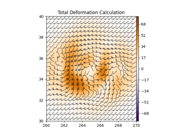
Calculate the total deformation of the horizontal wind.
- Parameters:
u ((…, M, N)
xarray.DataArrayorpint.Quantity) – x component of the windv ((…, M, N)
xarray.DataArrayorpint.Quantity) – y component of the winddx (
pint.Quantity, optional) – The grid spacing(s) in the x-direction. If an array, there should be one item less than the size of u along the applicable axis. Optional ifxarray.DataArraywith latitude/longitude coordinates used as input.dy (
pint.Quantity, optional) – The grid spacing(s) in the y-direction. If an array, there should be one item less than the size of u along the applicable axis. Optional ifxarray.DataArraywith latitude/longitude coordinates used as input.x_dim (int, optional) – Axis number of x dimension. Defaults to -1 (implying […, Y, X] order). Automatically parsed from input if using
xarray.DataArray.y_dim (int, optional) – Axis number of y dimension. Defaults to -2 (implying […, Y, X] order). Automatically parsed from input if using
xarray.DataArray.parallel_scale (
pint.Quantity, optional) – Parallel scale of map projection at data coordinate. Optional ifxarray.DataArraywith latitude/longitude coordinates and MetPy CRS used as input. Also optional if longitude, latitude, and crs are given. If otherwise omitted, calculation will be carried out on a Cartesian, rather than geospatial, grid. Keyword-only argument.meridional_scale (
pint.Quantity, optional) – Meridional scale of map projection at data coordinate. Optional ifxarray.DataArraywith latitude/longitude coordinates and MetPy CRS used as input. Also optional if longitude, latitude, and crs are given. If otherwise omitted, calculation will be carried out on a Cartesian, rather than geospatial, grid. Keyword-only argument.latitude (
pint.Quantity, optional) – Latitude of data. Optional ifxarray.DataArraywith latitude/longitude coordinates used as input. Also optional if parallel_scale and meridional_scale are given. If otherwise omitted, calculation will be carried out on a Cartesian, rather than geospatial, grid. Keyword-only argument.longitude (
pint.Quantity, optional) – Longitude of data. Optional ifxarray.DataArraywith latitude/longitude coordinates used as input. Also optional if parallel_scale and meridional_scale are given. If otherwise omitted, calculation will be carried out on a Cartesian, rather than geospatial, grid. Keyword-only argument.crs (
pyproj.crs.CRS, optional) – Coordinate Reference System of data. Optional ifxarray.DataArraywith MetPy CRS used as input. Also optional if parallel_scale and meridional_scale are given. If otherwise omitted, calculation will be carried out on a Cartesian, rather than geospatial, grid. Keyword-only argument.
- Returns:
(…, M, N)
xarray.DataArrayorpint.Quantity– Total Deformation
See also
Notes
If inputs have more than two dimensions, they are assumed to have either leading dimensions of (x, y) or trailing dimensions of (y, x), depending on the value of
dim_order.Changed in version 1.0: Changed signature from
(u, v, dx, dy)