Maps, Views, Projections
Default Map Scales
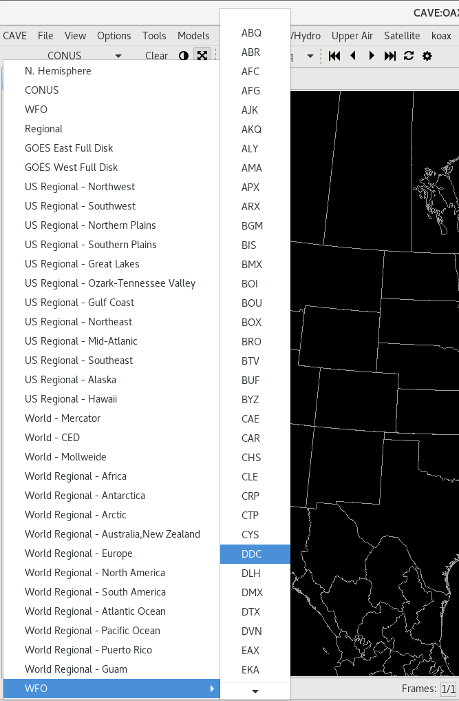
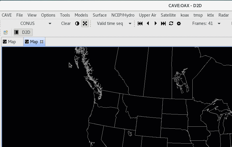
The first toolbar menu item is a dropdown menu for different geographic areas and map projections. The default view is always CONUS, which is a North Polar Steregraphic projection centered on the Continental United States.
Default projections and areas available in the menu
- CONUS
- N. Hemisphere (North Polar Stereographic)
- Regional (for the selected localization site)
- WFO (for the selected localization site)
- World - Mercator
- World - CED
- World - Mollweide
- GOES East Full Disk (Geostationary)
- GOES West Full Disk (Geostationary)
- Regional Mercator projections for
- Africa
- Alaska
- Antarctica
- Arctic
- Australia,New Zealand
- Europe
- Hawaii
- Japan
- Pacific Ocean
- Puerto Rico
- South America
- WFO (Has a submenu which contains a map scale for every NWS localization site)
New Map Editor / View
Adding a New Map Editor
This can be done in a few ways: using the file menu, right clicking on the tab bar, or using the Ctrl+T keyboard shortcut.
Using the file menu, simply go to: File > New Map.
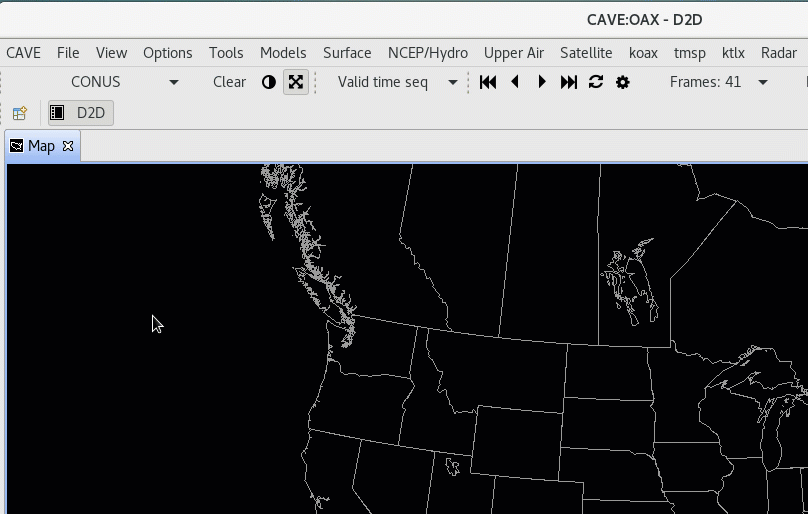
This opens a new map editor tab with the default projection (CONUS Polar Stereographic).
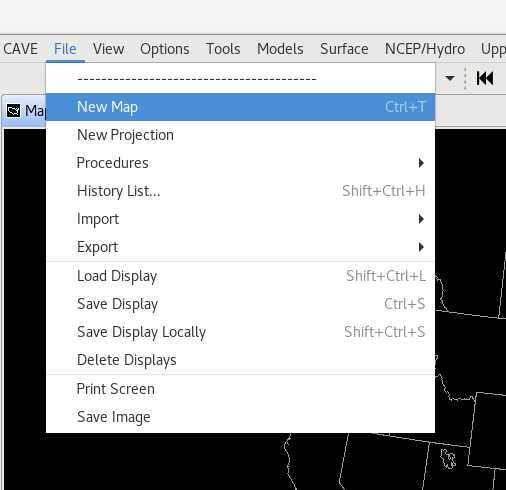
To use the tab bar, right-click on or next to any tab and select New Editor
Renaming Map Editor
Any of the map editor tabs can be renamed. This can be particularly helpful if you have multiple tabs, with a different focus on each (ie. different geographic reigon, different types of data, etc).
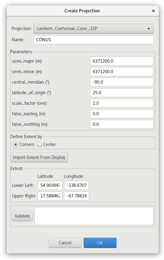
New Projection
A new map projection can be created using the file menu: File > New Projection.