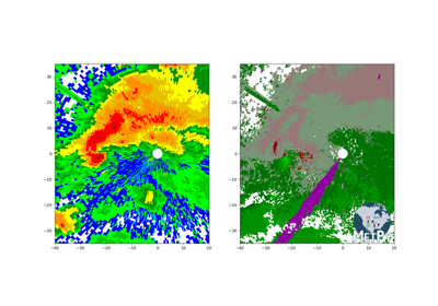
Level3File
-
class
metpy.io.Level3File(filename)[source]¶ Handle reading the wide array of NEXRAD Level 3 (NIDS) product files.
This class attempts to decode every byte that is in a given product file. It supports all of the various compression formats that exist for these products in the wild.
-
metadata¶ dict – Various general metadata available from the product
-
header¶ namedtuple – Decoded product header
-
prod_desc¶ namedtuple – Decoded product description block
-
siteID¶ str – ID of the site found in the header, empty string if none found
-
lat¶ float – Radar site latitude
-
lon¶ float – Radar site longitude
-
height¶ float – Radar site height AMSL
-
product_name¶ str – Name of the product contained in file
-
max_range¶ float – Maximum range of the product, taken from the NIDS ICD
-
map_data¶ Mapper – Class instance mapping data int values to proper floating point values
-
sym_block¶ list, optional – Any symbology block packets that were found
-
tab_pages¶ list, optional – Any tabular pages that were found
-
graph_pages¶ list, optional – Any graphical pages that were found
Notes
The internal data structure that things are decoded into is still to be determined.
Create instance of
Level3File.Parameters: filename (str or file-like object) – If str, the name of the file to be opened. If file-like object, this will be read from directly. Methods Summary
__init__(filename)Create instance of Level3File.pos_scale(is_sym_block)Scale of the position information in km. Methods Documentation
-
__init__(filename)[source]¶ Create instance of
Level3File.Parameters: filename (str or file-like object) – If str, the name of the file to be opened. If file-like object, this will be read from directly.
-
