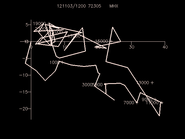
SNHODO draws a hodograph which represents the vertical
distribution of the horizontal wind at a station. The winds
are plotted in meters/sec.
Plot the MHX (Newport, North Carolina) hodograph using height coordinates.
Label every 2000 meters from 1000 meters to
24000 meters.
GEMPAK-SNHODO>
SNFILE   = uair
AREA     = @mhx
LINE     = 1//3
MARKER   = 1
BORDER   = 1
TITLE    = 1
XAXIS    =
YAXIS    =
LEVELS   = 1000-24000-2000
VCOORD   = hght
DATTIM   = 1200
CLEAR    = y
DEVICE   = xw
PANEL    = 0
TEXT     = 1/2/1/hw
GEMPAK-SNHODO>r
